Now I could write about how much I would have rather slept in my tent on the shore of Vuoma-lake, how much more of an authentic outside hiking experience that would have been, but i am not trying to fool myself here!
It was a very cosy feeling to hear the incredible strong wind hitting the hut while falling asleep in a fresh and cosy bed. No worrying about the pole breaking due to the next squall hitting the tent. No waking up to readjust tent nails. No fearing of flying away with the tent. Just a peaceful bunkbed room for myself!
The only thing that is able to wake me up in the morning was the continuous sound of children sprinting and jumping on the wooden floor.
It isn’t that early anymore and even though every single muscle of my legs aches from yesterdays hike I shouldn’t make my morning too comfortable and continue my hike of the Nordkalottleden.
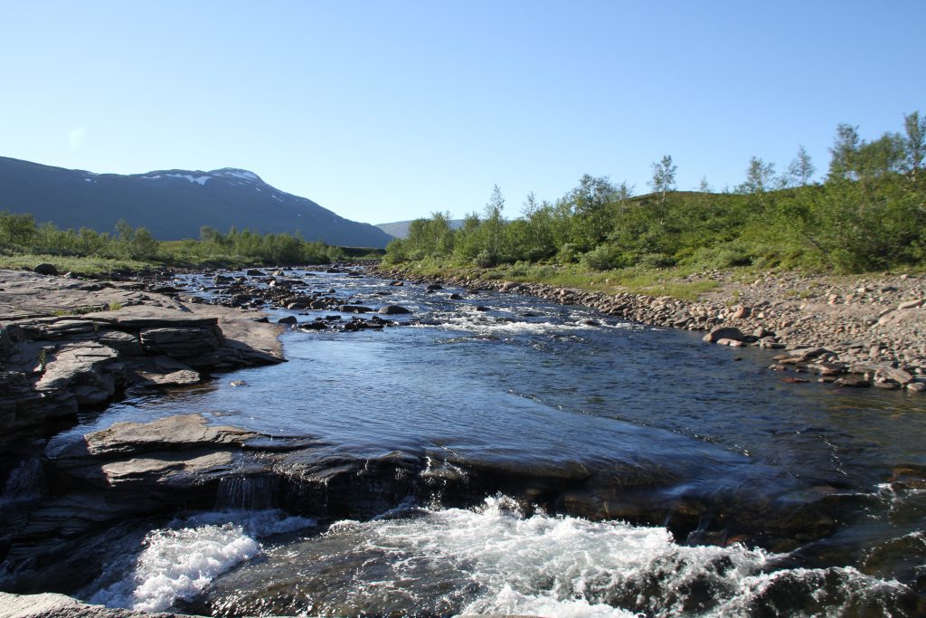
After having breakfast, cleaning up a bit and packing everything together I follow the river, which connects the Vuomajávri with other smaller lakes, upstream. The hike along the riverside is fairly easy and only regularly appearing swampy patches demand some acrobatic jumps to avoid wet shoes so early in the day.
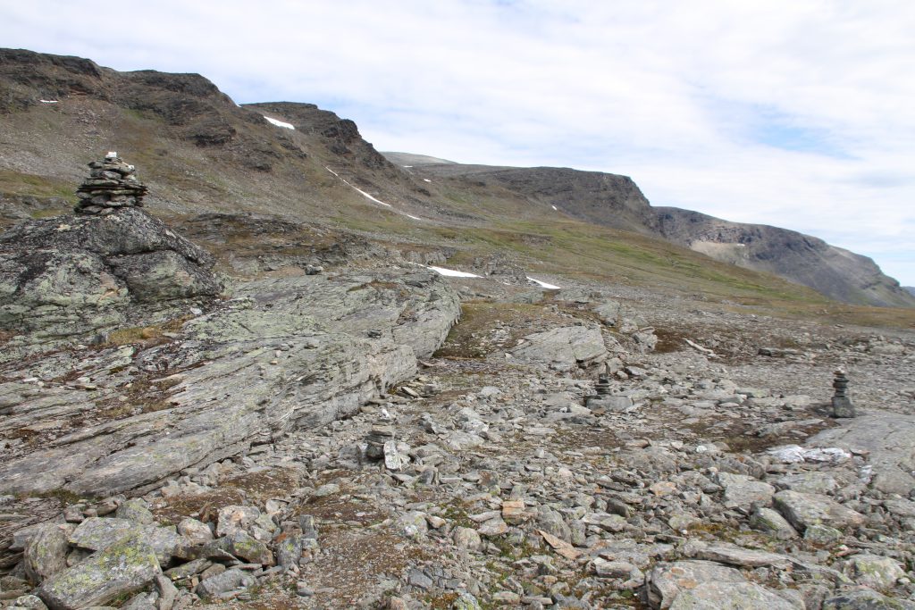
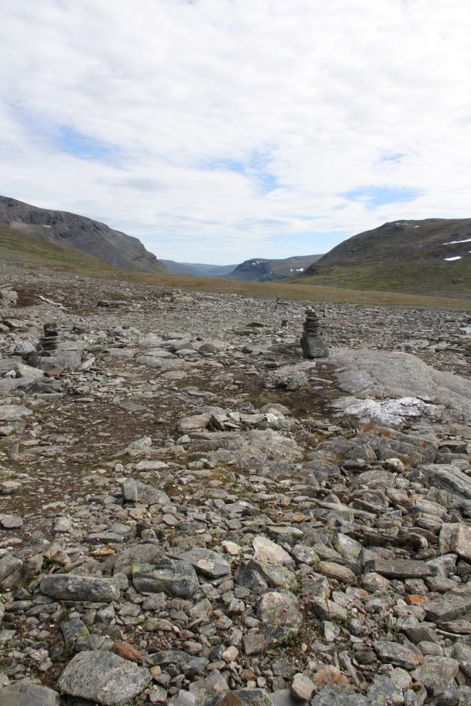
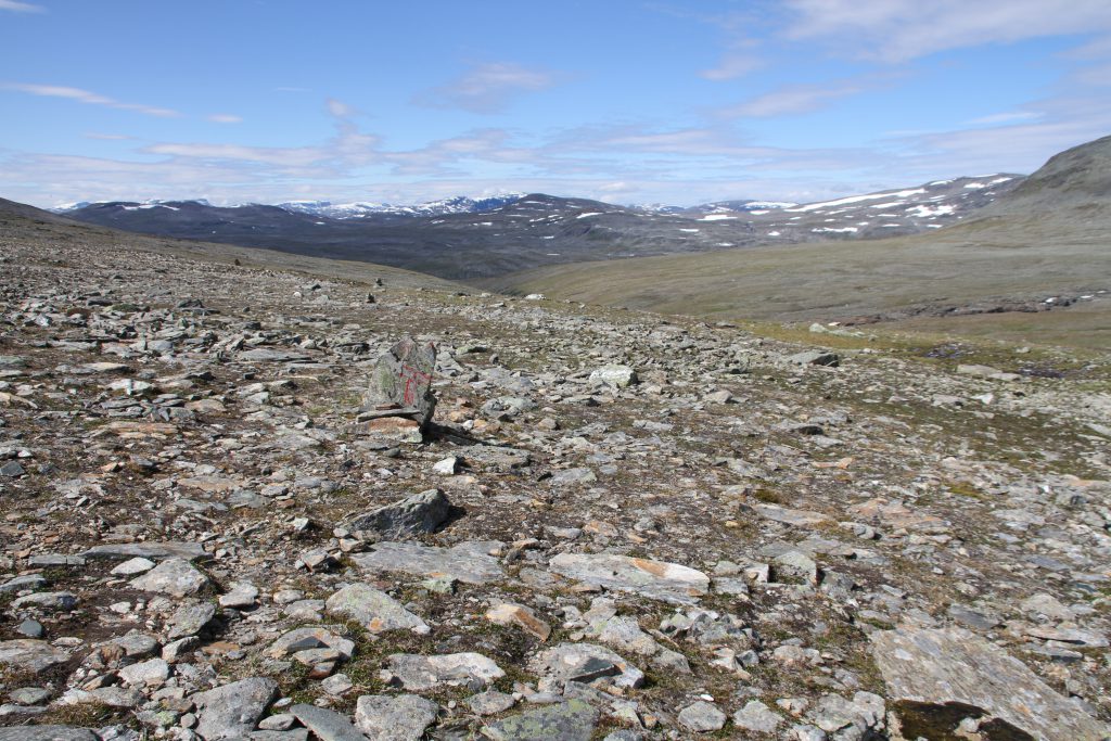
Walking towards and then along the foot of Čoalbmoaivi (1255m) the surrounding becomes more and more rocky and steep. Due to the generous amount of stone cairns, which mark the path, I traverse this in a quite ok pace. But definitely not fast!
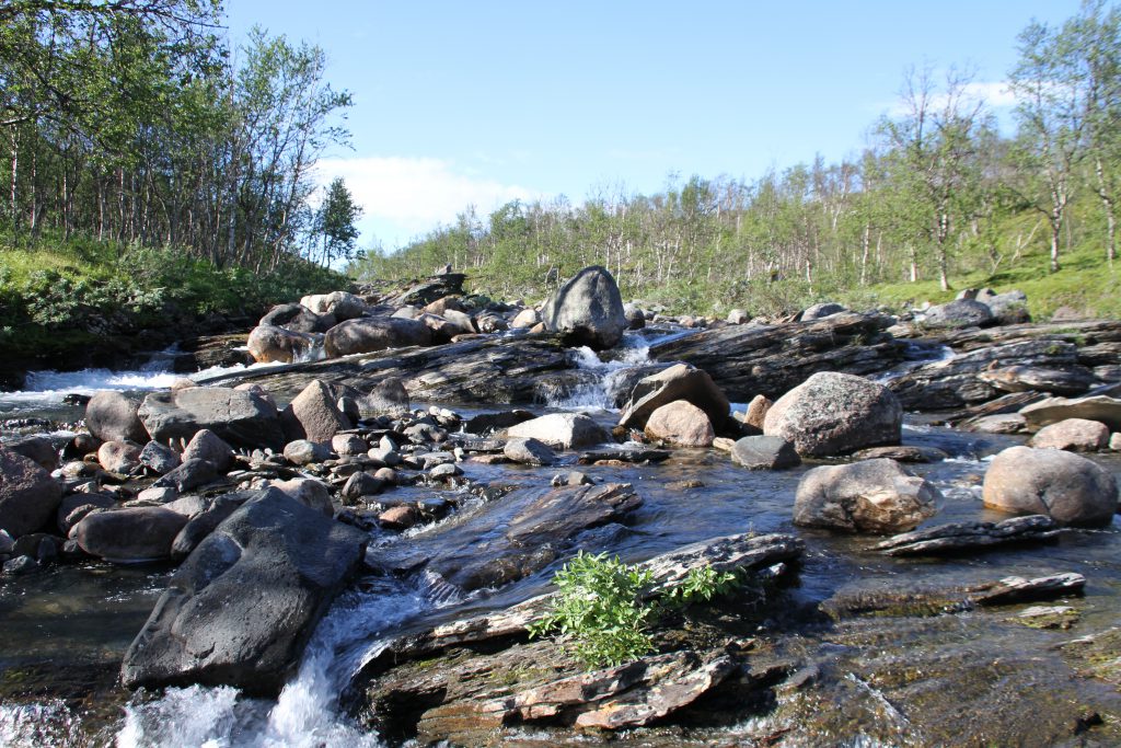
To descend to Gaskashytta I follow the Gaskkasjohka downstream. This is a much easier and faster walking than the previous section. I don’t have to focus so much on my feet anymore, since the setting changes to a grassy open birch forrest.
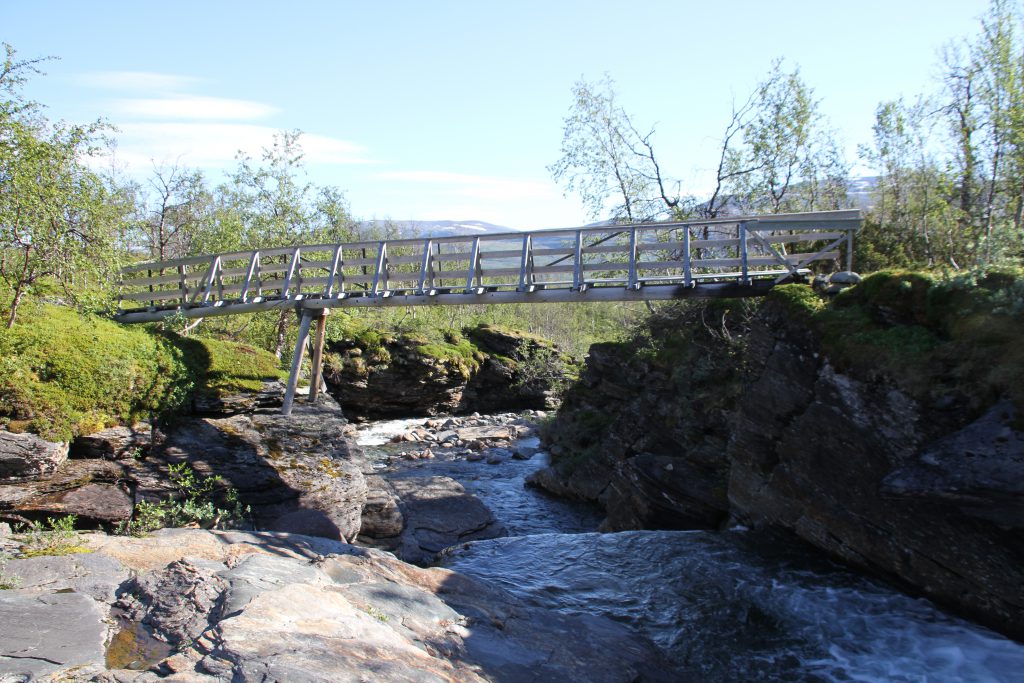
After already four hours of hiking today I cross the Gaskkasjohka, where I refill my water, to reach Gaskashytta mountain cabin.
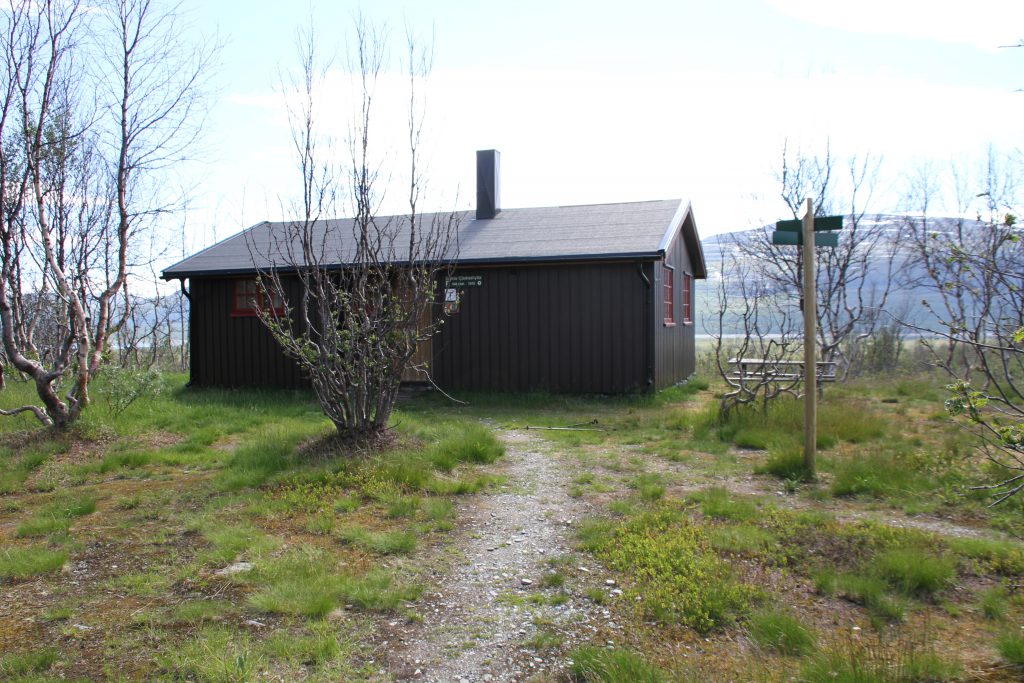
Gaskashytta 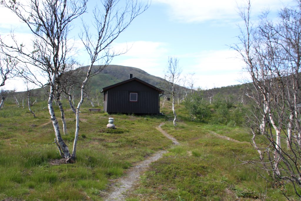
Gaskashytta 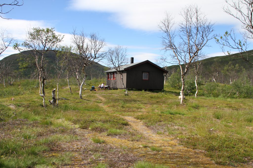
Gaskashytta surrounded by some birch trees.
During the break I have a look through my notes and maps. I think I will arrive in Abisko, the next and last of my resupply points, in two days at noon. With this figured out I start eating my spare food and also the lunch of the last day. After a one hour break, I, overeaten, pack everything together and am on my way to proceed hiking. This is when a hiker, who is planning to go fishing at Vuomahytta, informs me that there is cellphone reception here!!!!
I do the mistake of switching on my phone and end up answering messages from family and friends for the next hour or so. I don’t know when I had cell phone reception the last time, but i really didn’t miss it. Nevertheless, keeping everyone informed about my wellbeing is still necessary!
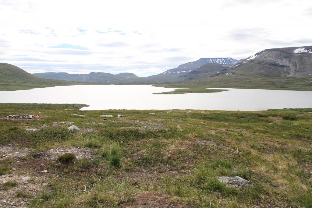
Long resting makes it more difficult to start hiking again but the path from here on is well formed and leads me through a stunning scenery down to Álddesjávri.
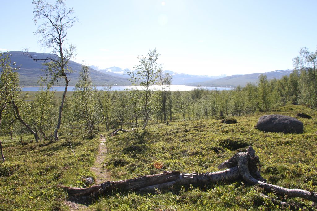
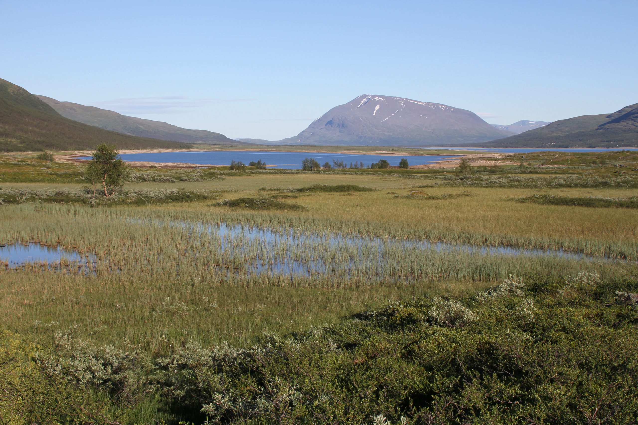
The shore is a swampy region and even though there wasn’t much rainfall recently it is quite wet! Luckily wooden planks cover the worst parts and with this luxury the feet stay dry!
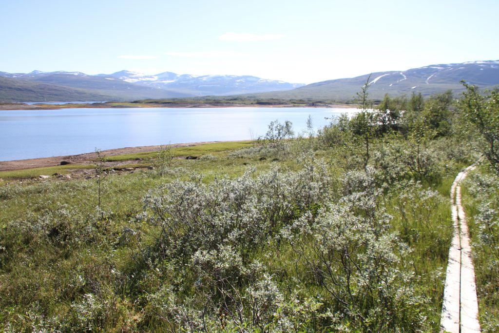
This way I follow the lakes shore.
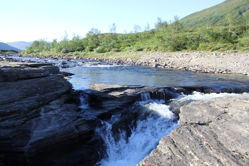
At the most northern point, where the Buletjárvi is streaming into the Álddesjávri I bath on this beautiful day. The water is crystal clear, with small fish being visible in large ponds. Even though I find a fishing line with hooks on it the smart fish, which really don’t want to bite, escape being part of an almost changing dinner plan.
Following a small creek from time to time I have to cross through a quite swampy section again before reaching some worn out 4WD tracks that lead to Altevasshytta. The path may be not so spectacular, but the views over the lake are unbelievably stunning.
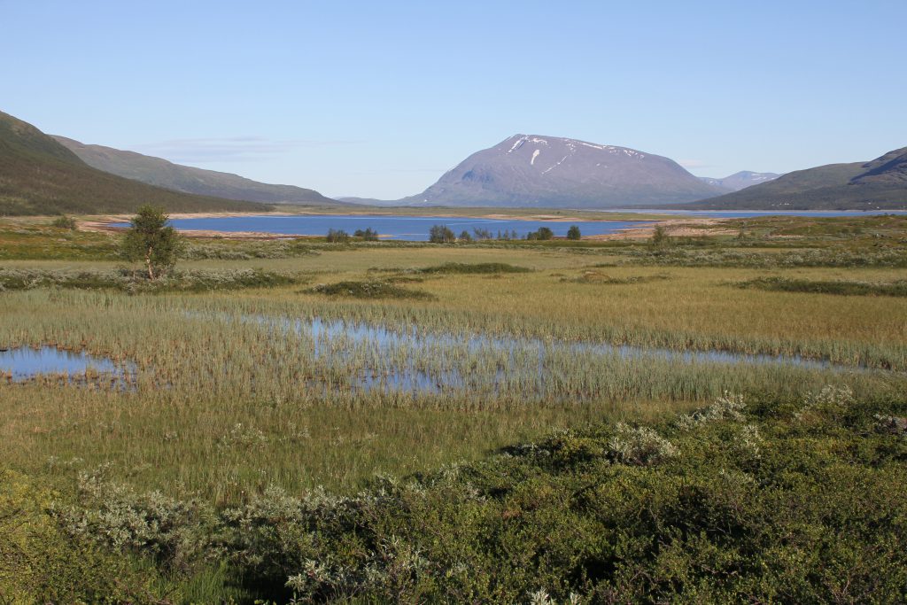
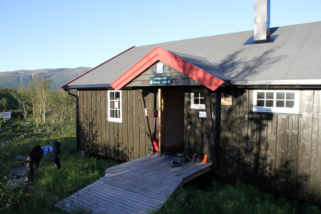
The hut is very spacious and definitely frequently used. But because of the proximity to Innset and the possibility to also drive there by car it’s not as charming as other Norwegian Mountain Huts I’ve seen. I still have a rest here and even though there’s some hiking equipment laying around I don’t meet anyone.
Leaving Altevasshytta i pass a huge parking lot, where some camper-vans are staying. A german couple is just about to start the grill and offer me a steak, which I greatfully decline.
It’s not getting dark yet, since it never really does, but my feet are getting heavy and I rather go on to find a place to stay for the night.

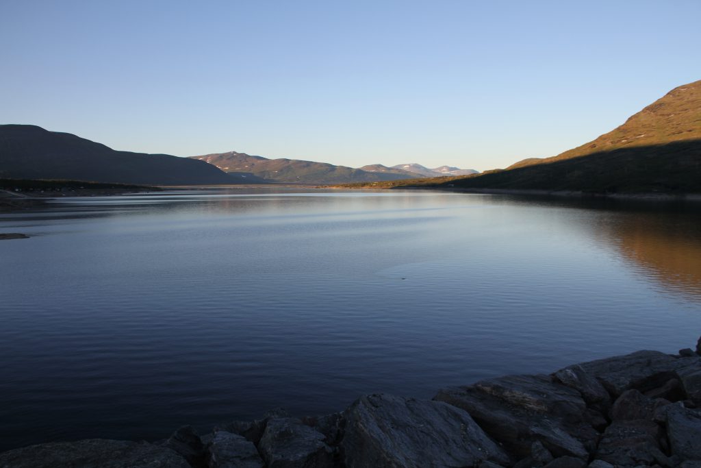
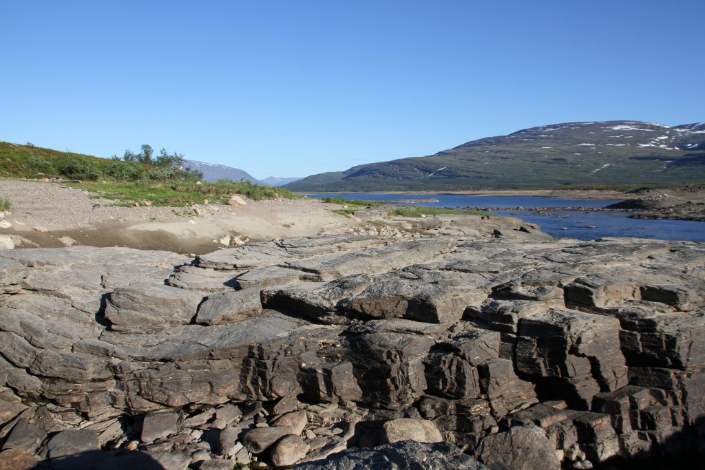
View over Álddesjávri from the dam.
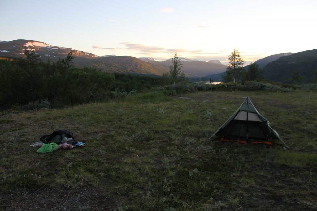
After passing over the dam a gravel road brings me uphill to an artificial waterfall of the Salvvasjohka. There the gravel road ends and a trail starts. This seems to me be a good ending point for todays hike and set up my tent. I did not expect so many mosquitos here!!!
Thank god for a bug proof tent!
