I wake up, bathing in my own sweat, with my skin sticking to the surface of my Thermarest. I open my tent, a welcomed cold breeze enters, and I see the sun being surrounded by a clear blue sky. This will without a doubt become a wonderful day!
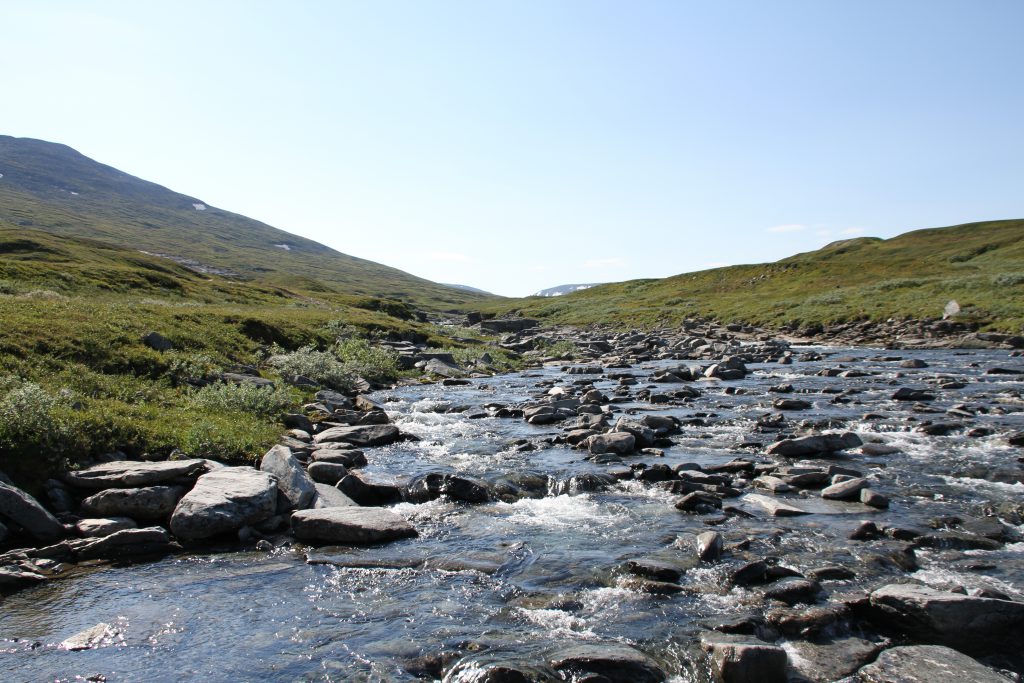
On 4WD tracks I follow the Salvvasjohka valley upstream. Every now and then these can be left on smaller tracks to cut a corner.
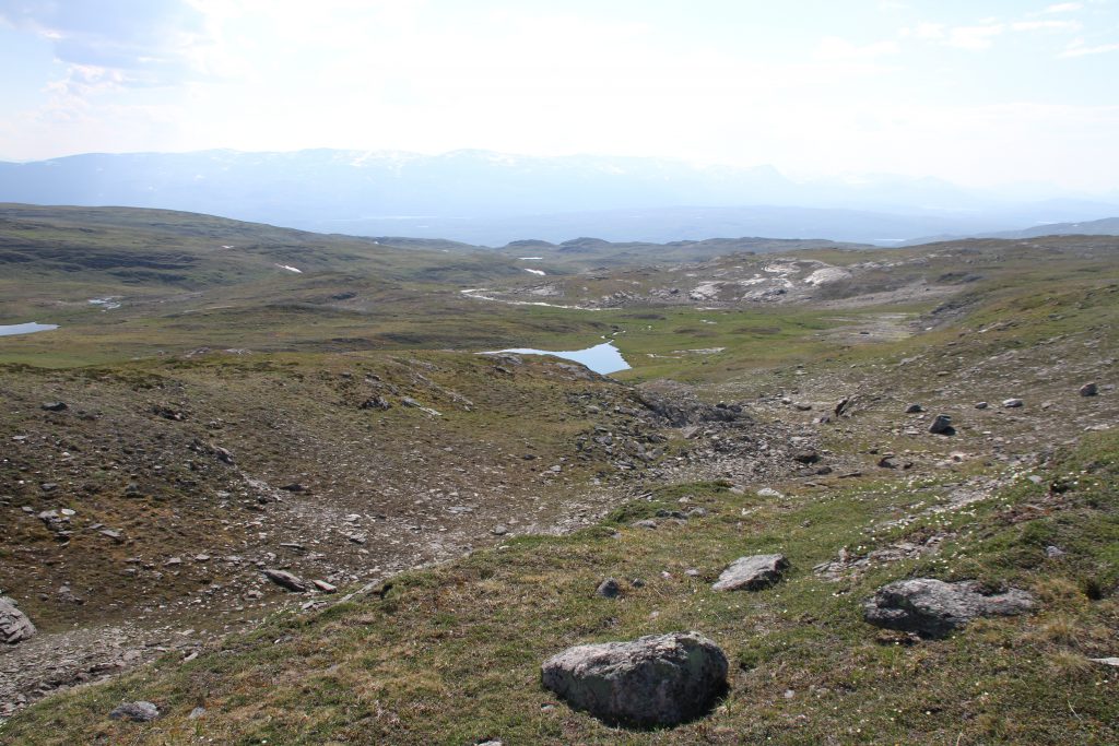
The scenery is very similar to the Bavarian Prealps! Wide grassy meadows with intermittent streams criss-crossing it.
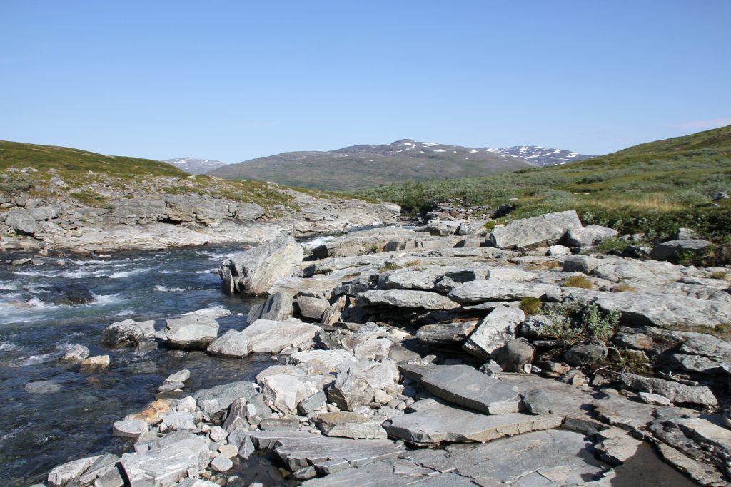
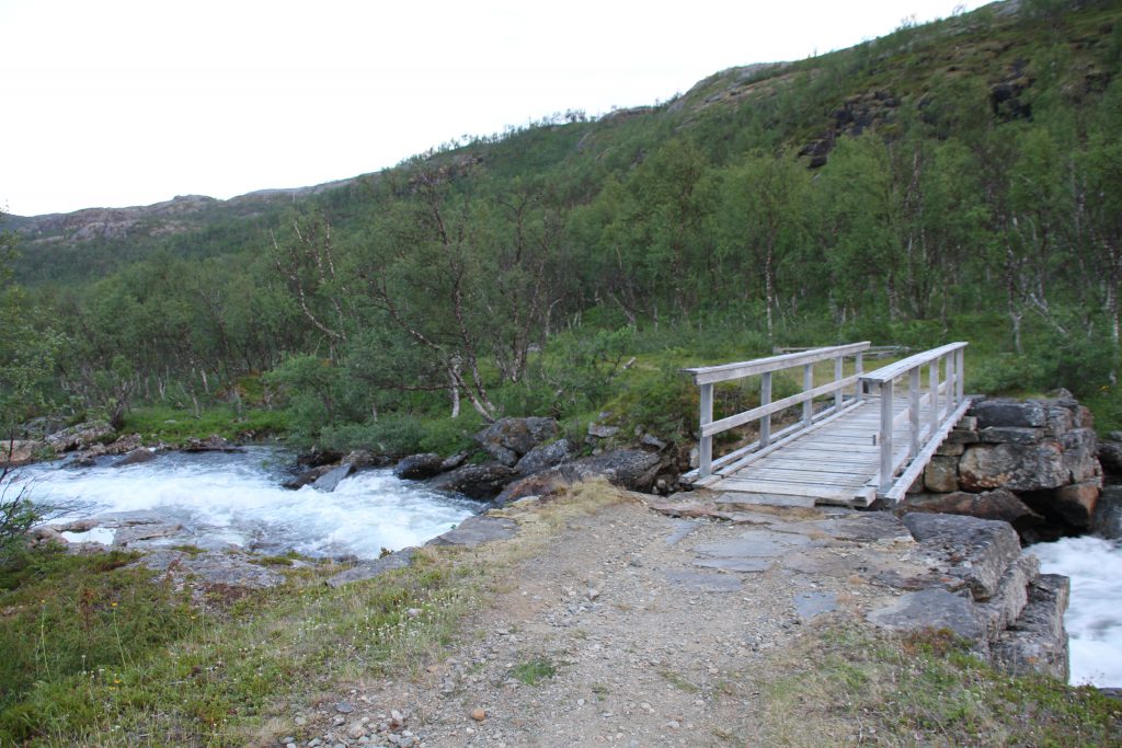
Where the Láirevákkejohka joins the Salvvasjohka I cross the later to follow the first one heading towards Biette Jovnna čohkka (1325m). I can cross the Salvvasjohka without getting my feet wet by some rock jumping.
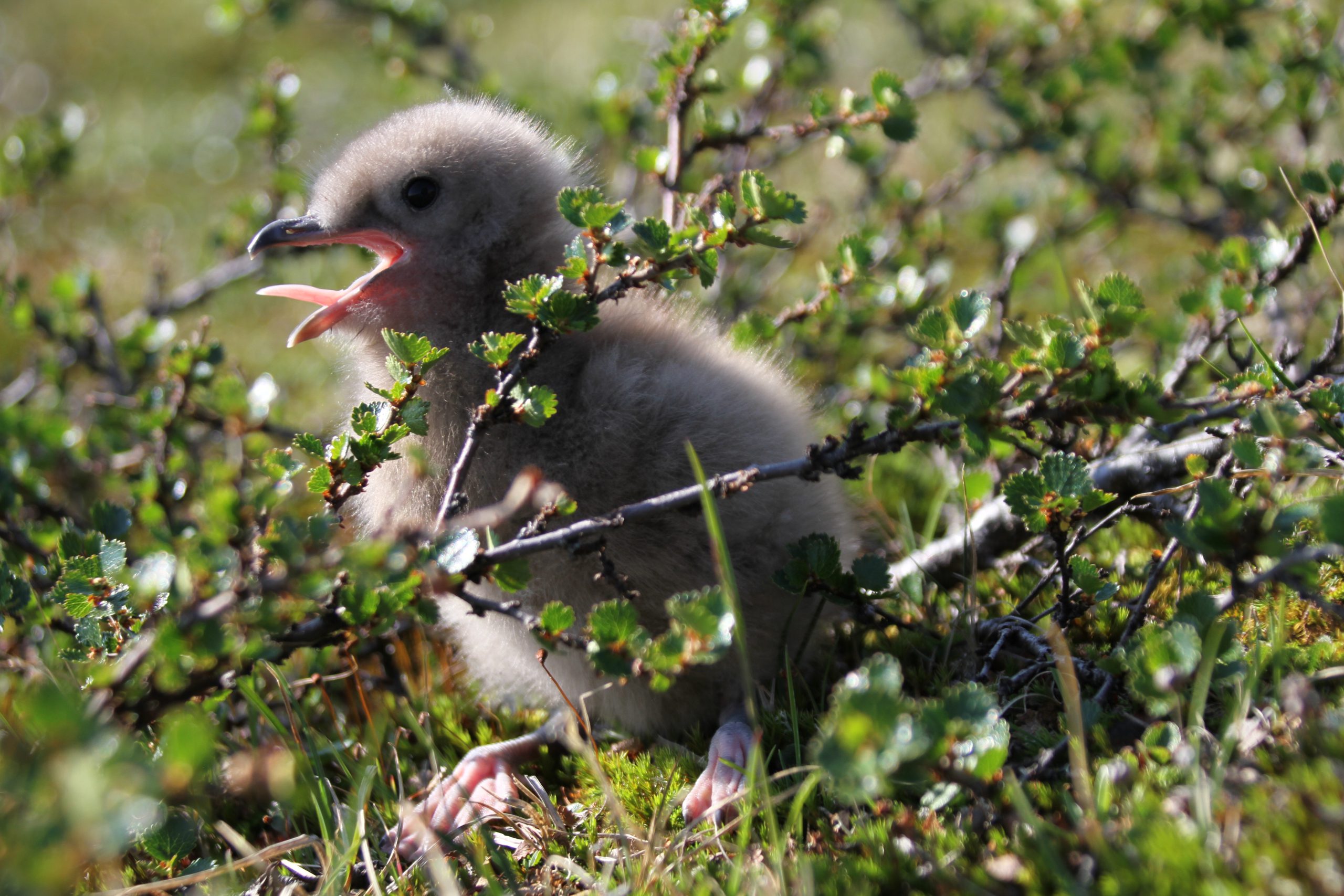
I come across many birds today, but one that I find particularly cute and mentionable is this little fellow, who was sun bathing himself on the path and ran off to the green as soon as I came closer, only to cry as loud as possible for his mummy!
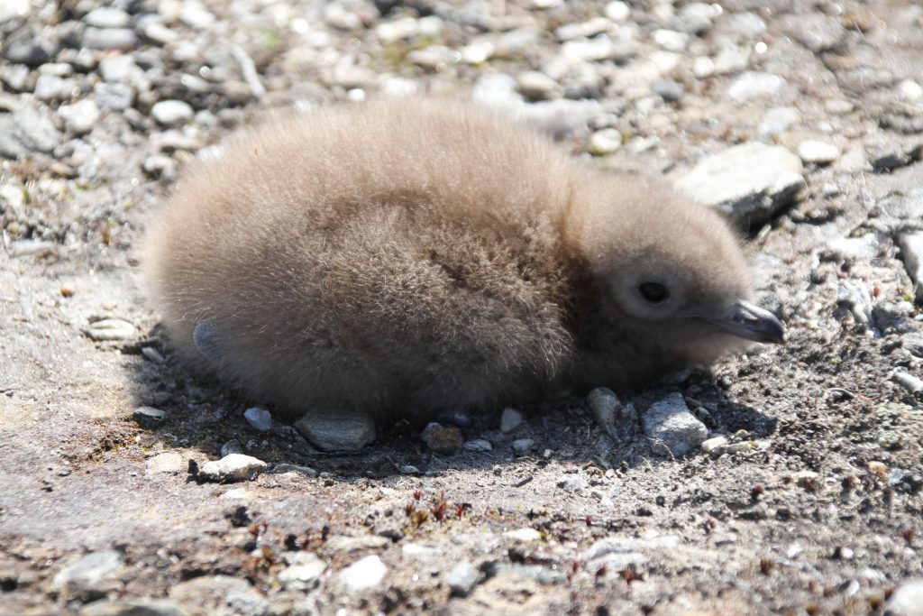
Sun bathing. 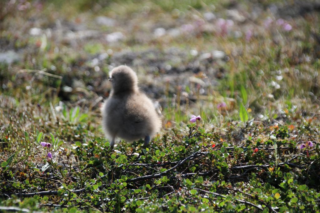
Running away. 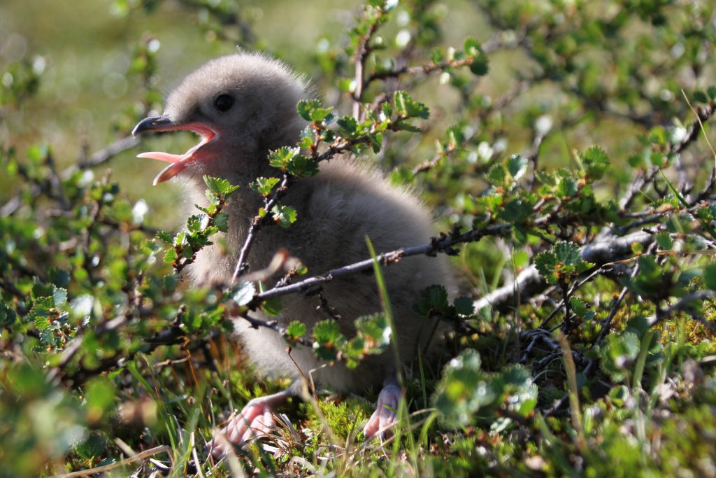
Crying for mummy.
When the first snow patches become apparent and the environment changes again to a more alpine character I reach the foot of Biette Jovnna čohkka (1325m). Right there to the East is a small Sami village.
I didn’t check it out further, since I couldn’t see anyone around and did not want to overstep any boundaries I don’t know of.
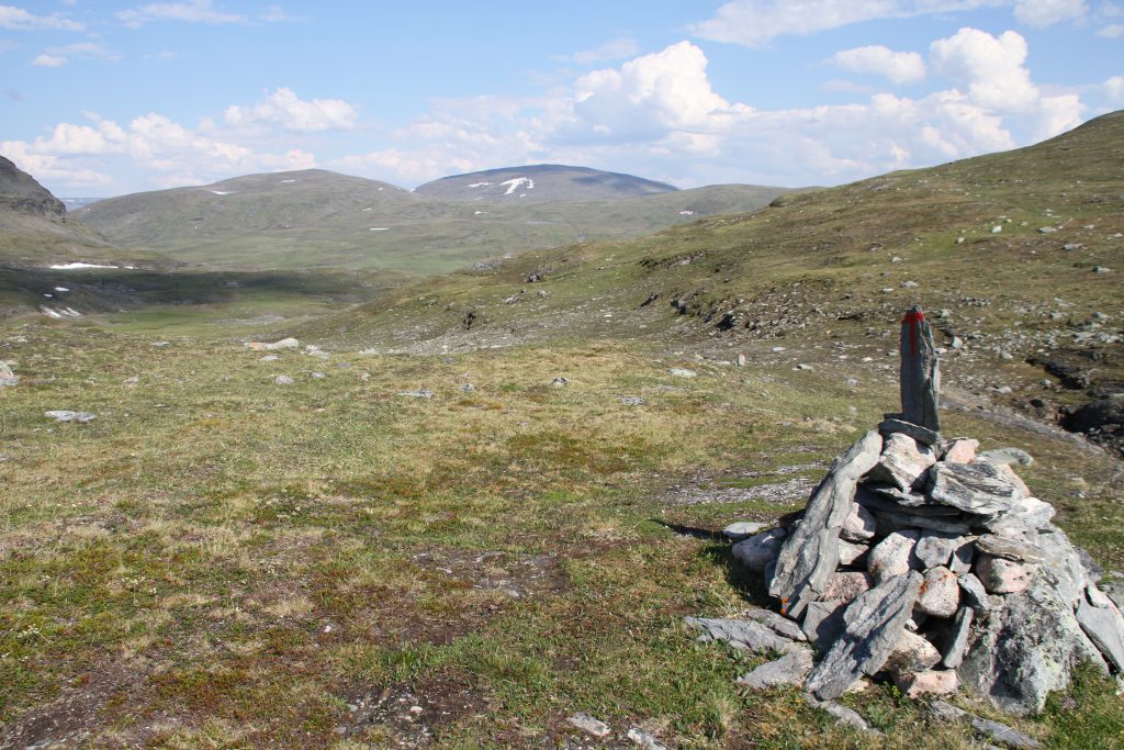
The trail here is, as often in the last days, marked by stone cairns and leads to another national park.
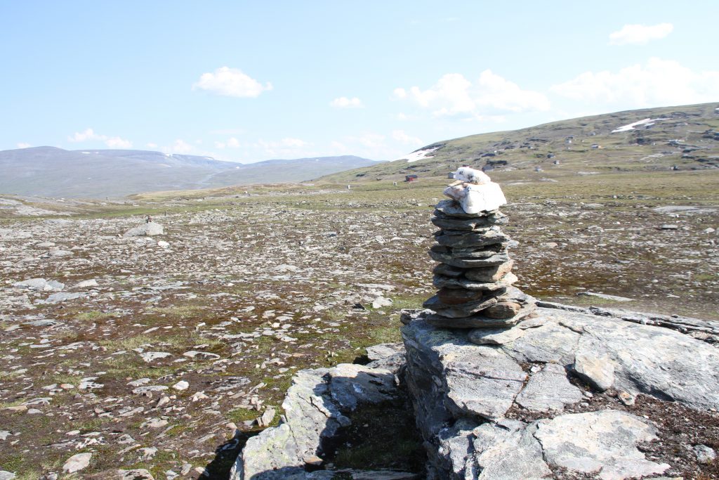
Sami village. 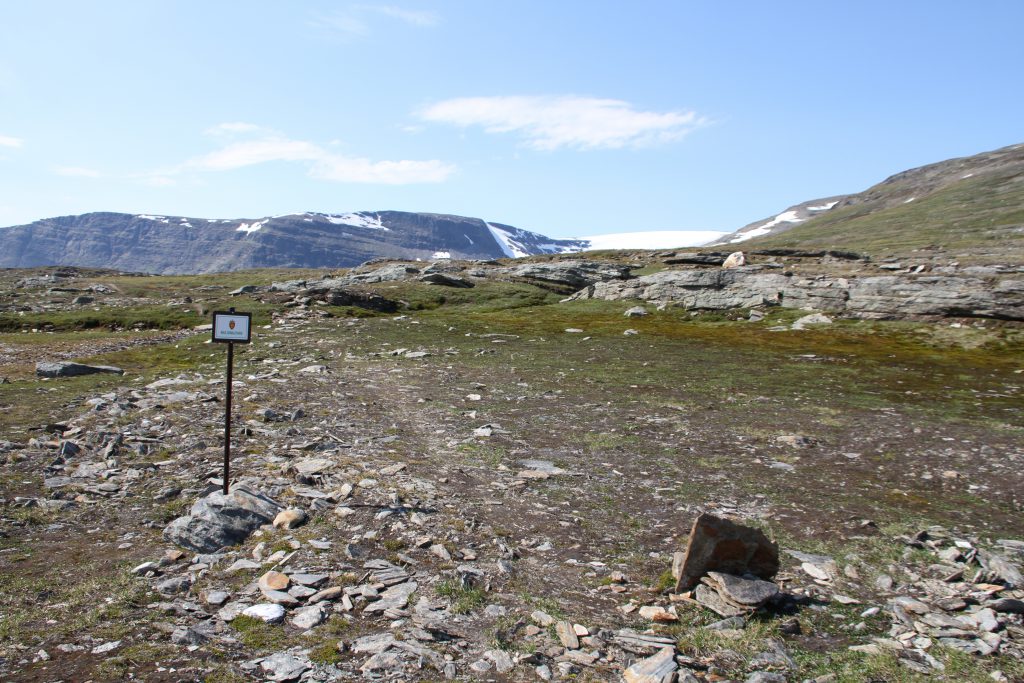
National Park entrance. 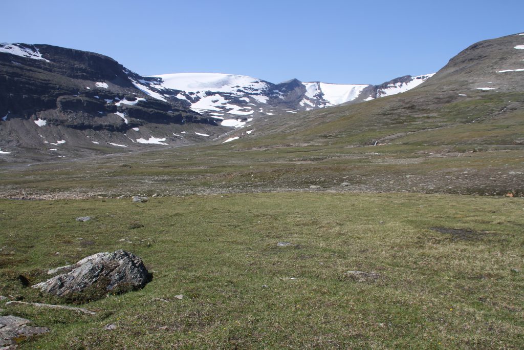
Glaciers around Ruovdoaivvit.
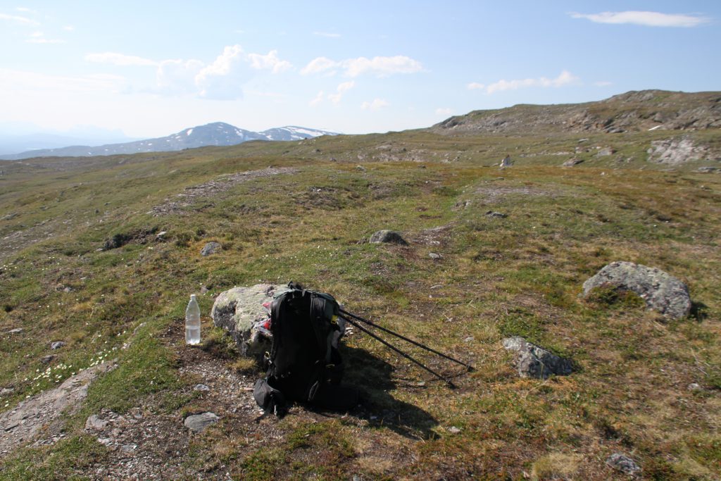
Before walking along the Čáhppesbákti I want to check how far it is to the bridge, which crosses the Riksoelva. I vaguely remember that it shouldn’t be far away. Problem is: I can’t find my map and even though Abisko is only a days march ahead I still need it.
After checking everything twice I start searching for it.
And there it is! 1,5km of walking back, laying in a puddle of mud; I find it! Happy about having it back and frustrated that i briefly lost it I make sure it can’t fall out again!
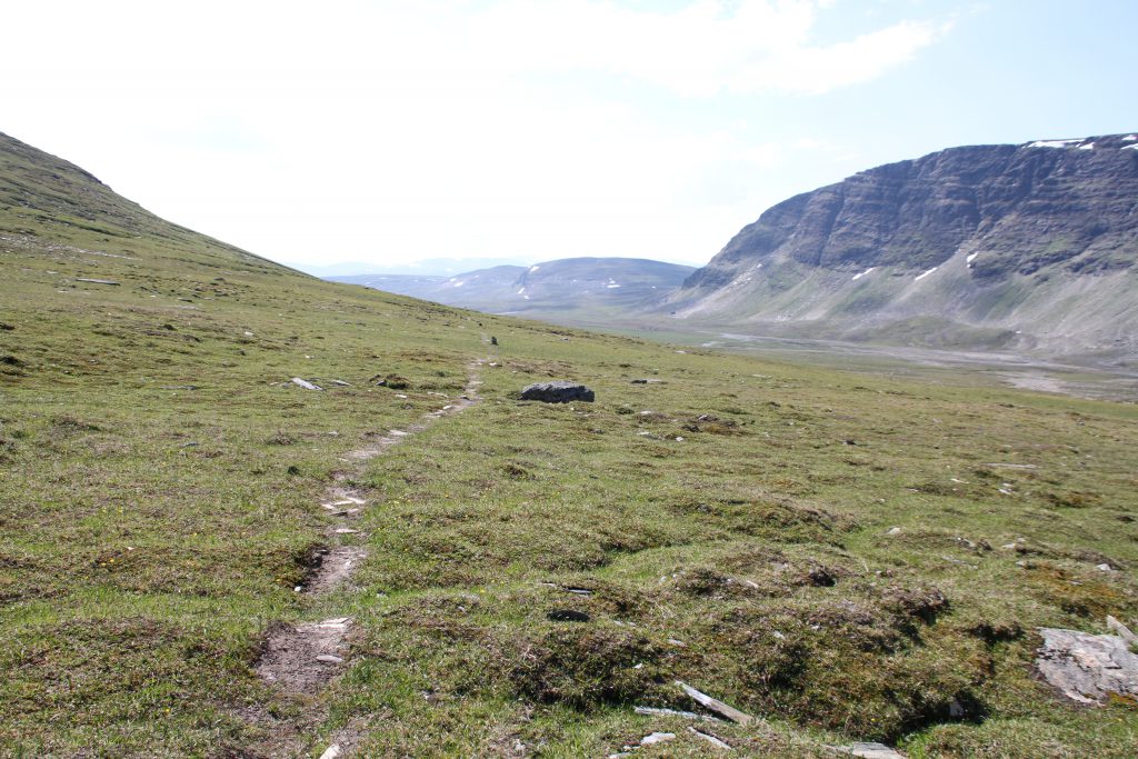
Čáhppesbákti (right). 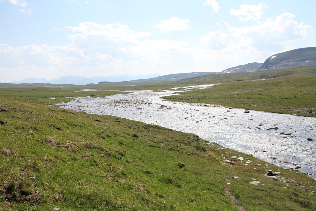
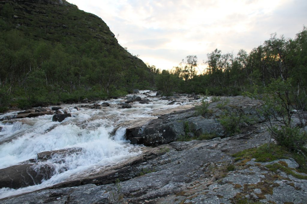
Riksoelva.
After fully passing the Čáhppesbákti my map [Calazo: Treriksröset, Abisko & Kiruna 1:100 000; Okt. 2017] indicates the previously mentioned bridge over the Riksoelva and an unbridged crossing over the Sávzajohka. I can’t find any bridge and doubt there is one. Maybe there was one and the last thawing period flooding took it.
How ever it may be… The crossing is not difficult, but it’s needless to mention that this time my feet do get wet!
With both rivers behind me the trail goes above and around hilly terrain towards the for now last Norwegian mountain cabin. The Lappjordhytta.
Already before reaching Lappjordhytta the views open up and the Torneträsk (Duortnosjávri) becomes visible.
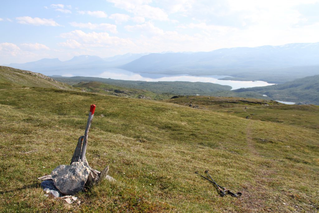
I remember that the two hiker, who I ascended Halti with, told me about this view and said that the U, formed of the mountain range, on the opposite side of the lake marks the location of Abisko.
After leaving the Lappjordhytta I descend through dense forrest with regular views towards the large Duortnosjávri and the much smaller Grensevatnan until I reach the boarder to Sweden!
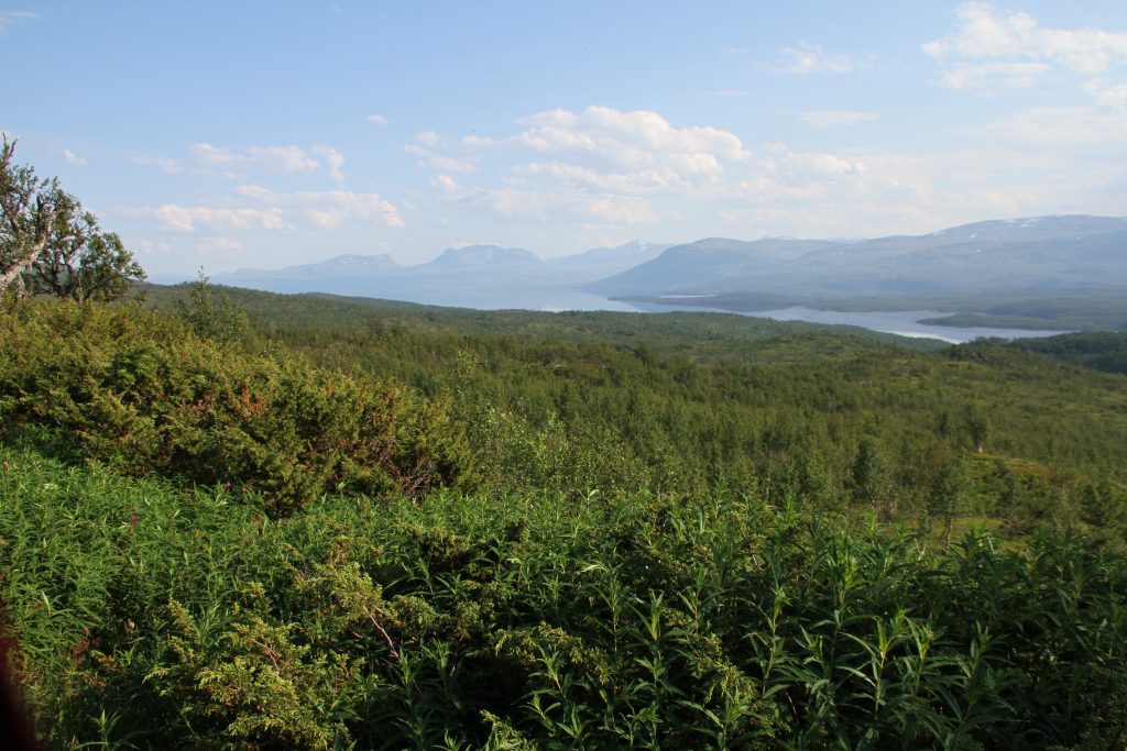
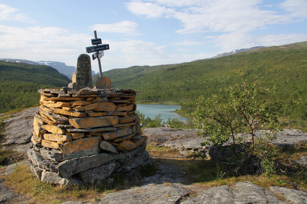
Border to Sweden with the Grensevatnan in the background.
Close by is the next hut i come along. Hidden in between the trees and just a few meters away from the Duortnosjávri lays the first Swedish hut, where staying in is free of charge. The hut can’t compete with the Norwegian huts in any beauty contests. It’s clearly less maintained and for sure older than most huts I came across. But it still has its charm! And an emergency phone…
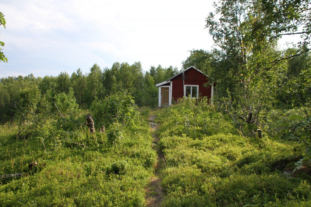
Pålnostugan. 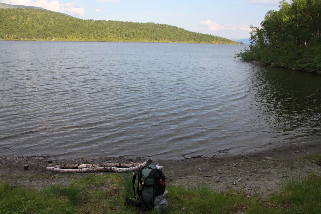
Duortnosjávri. 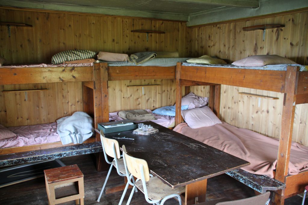
Pålnostugan. 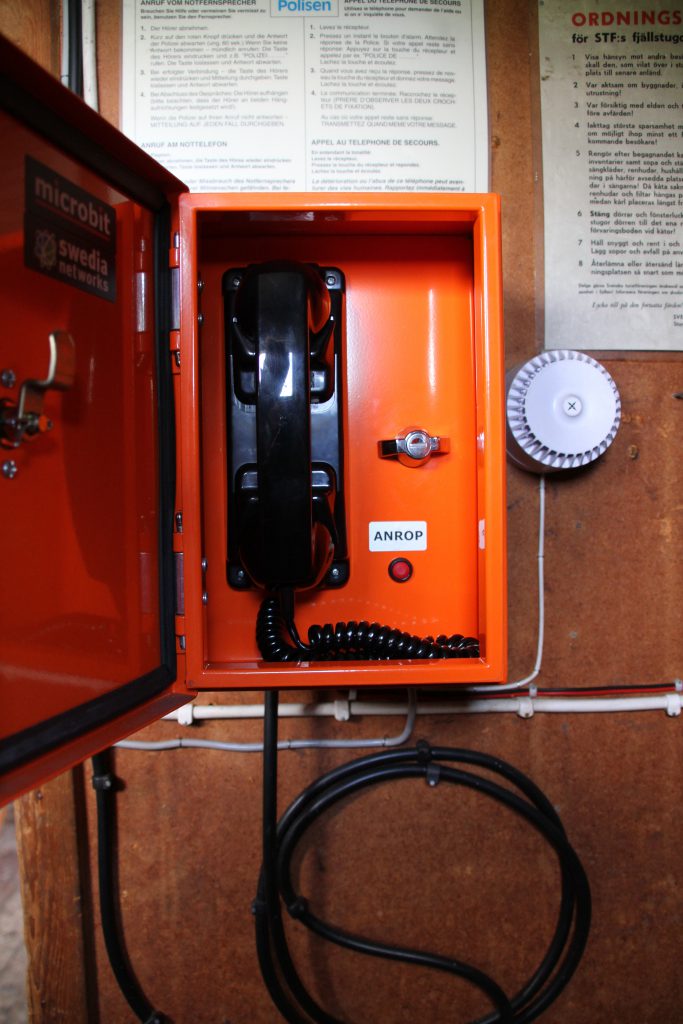
Emergency phone. 😉
Two women pitched up their tent on the shore and clearly just had a swim.
Since it’s at least 30°C today, something I didn’t expect so far up in the North, I do the same. But even though its a nice warm day bathing is still not something much enjoyable! The water is still freezing cold!
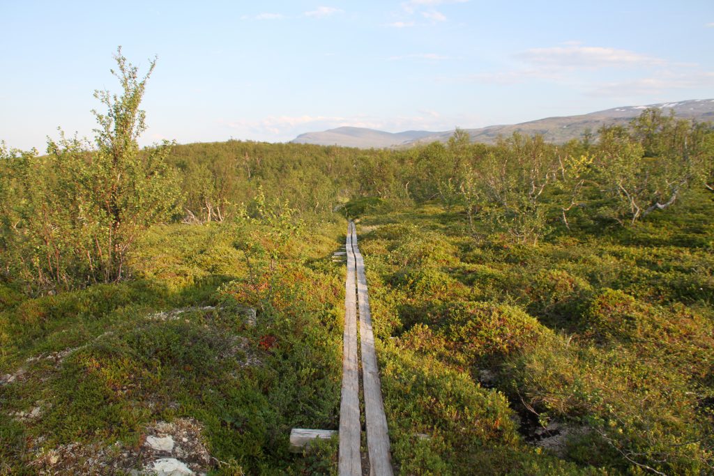
Swedish Boardwalk. 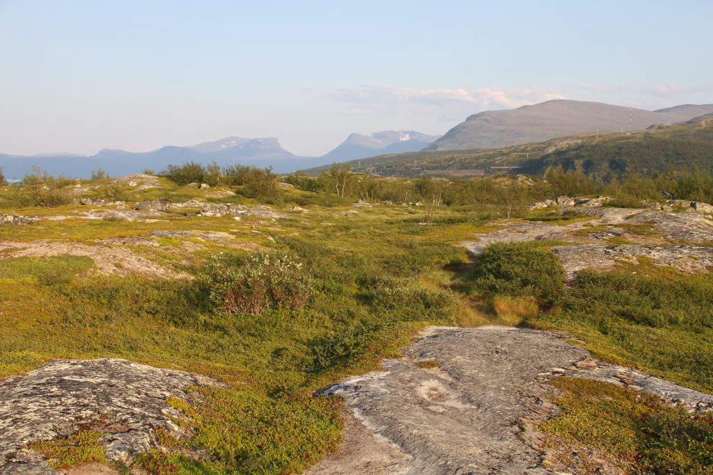
Abisko “U” in the distance.
Then the trail is similar to a rollercoaster! A bit land inwards, parallel to the lakes shore, it’s going up and down all the time.
Luckily I am close to Swedish civilisation and all muddy sections are avoidable by using installed boardwalks, which makes walking easy and fast!
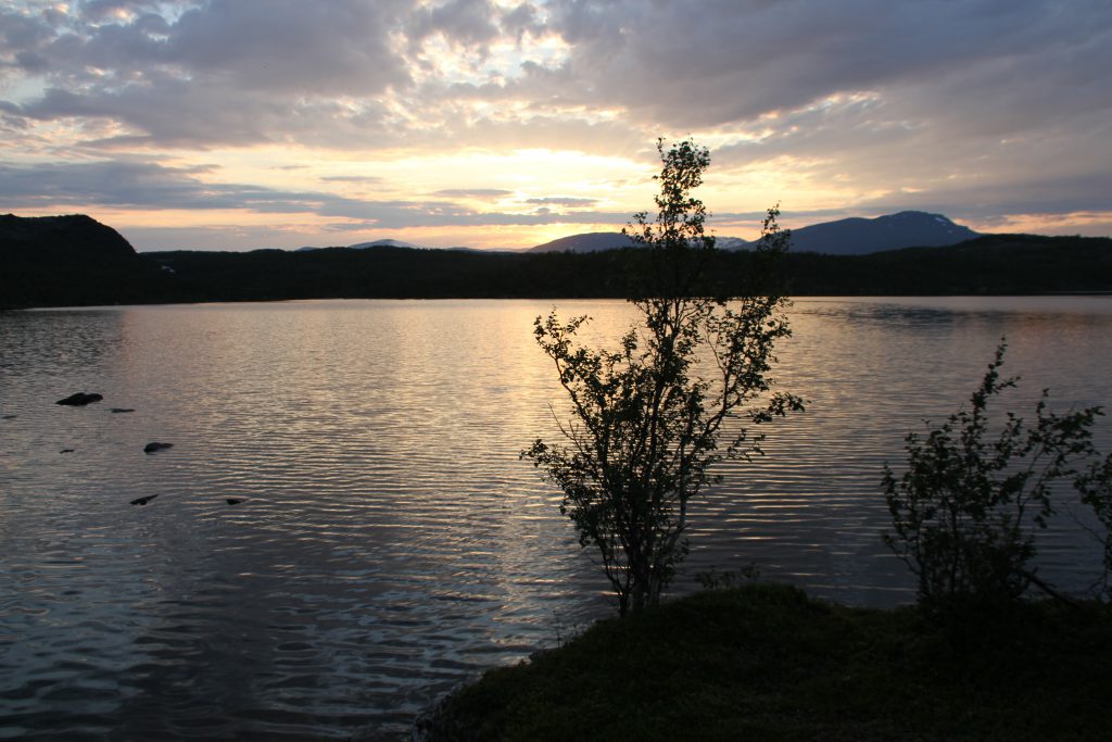
Lit by the evening sun The Mountain “U” of Abisko gets closer and closer – or at least it feels like it!
As nice as it is to get closer to Abisko, the monotonous sound of car engines that greet me when reaching the road E10 is not something i missed!
But the Nordkalottleden does not follow the road and after crossing it I rejoin a footpath.
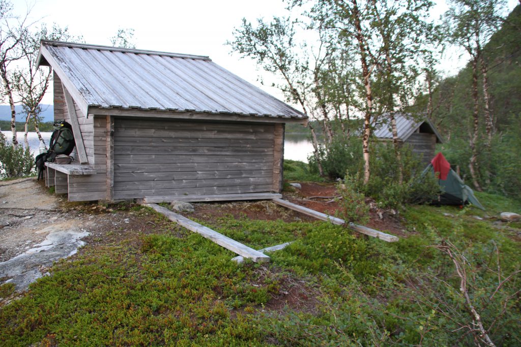
Unfortunately I can’t find the right one on the first try. The trail markings are insufficient here and many small paths lead to the Ráktájohkaluobbala. When I finally find the marked bridge and am back on track, I feel really tired and plan to sleep in the close by wind shelter.
When I arrive at the shelter I realise that I rather not sleep inside it. The shelter is just not in a good condition anymore. Vandalism and trash don’t make it too appealing to stay too long in it.
However, I am exhausted and my mind was set on staying here.
I call it a day and pitch up my tent right in between the shelter and the toilet house!
