I could get used to sleep in a nice bed every time. Sleeping in Dærtahytta was very restful. I help to clean up a bit in the hut and say good-bye to the others, who take it a bit slower today.
It is actually cloudy again and which gives my burned skin some rest from the sun. Walking around in a T-shirt all day, every day in the arctic circle, with 24/7h sunlight, and no sunscreen was probably a bit optimistic.
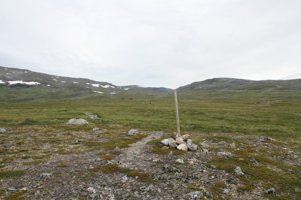
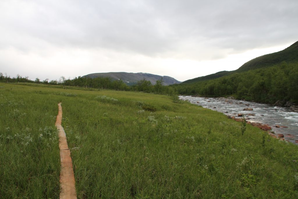
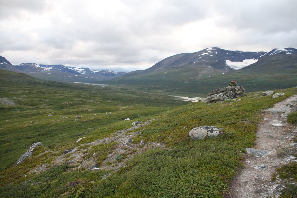
From the hut it goes, on quite well formed paths, downhill and then southwest along the valley, I was able to oversee yesterday.
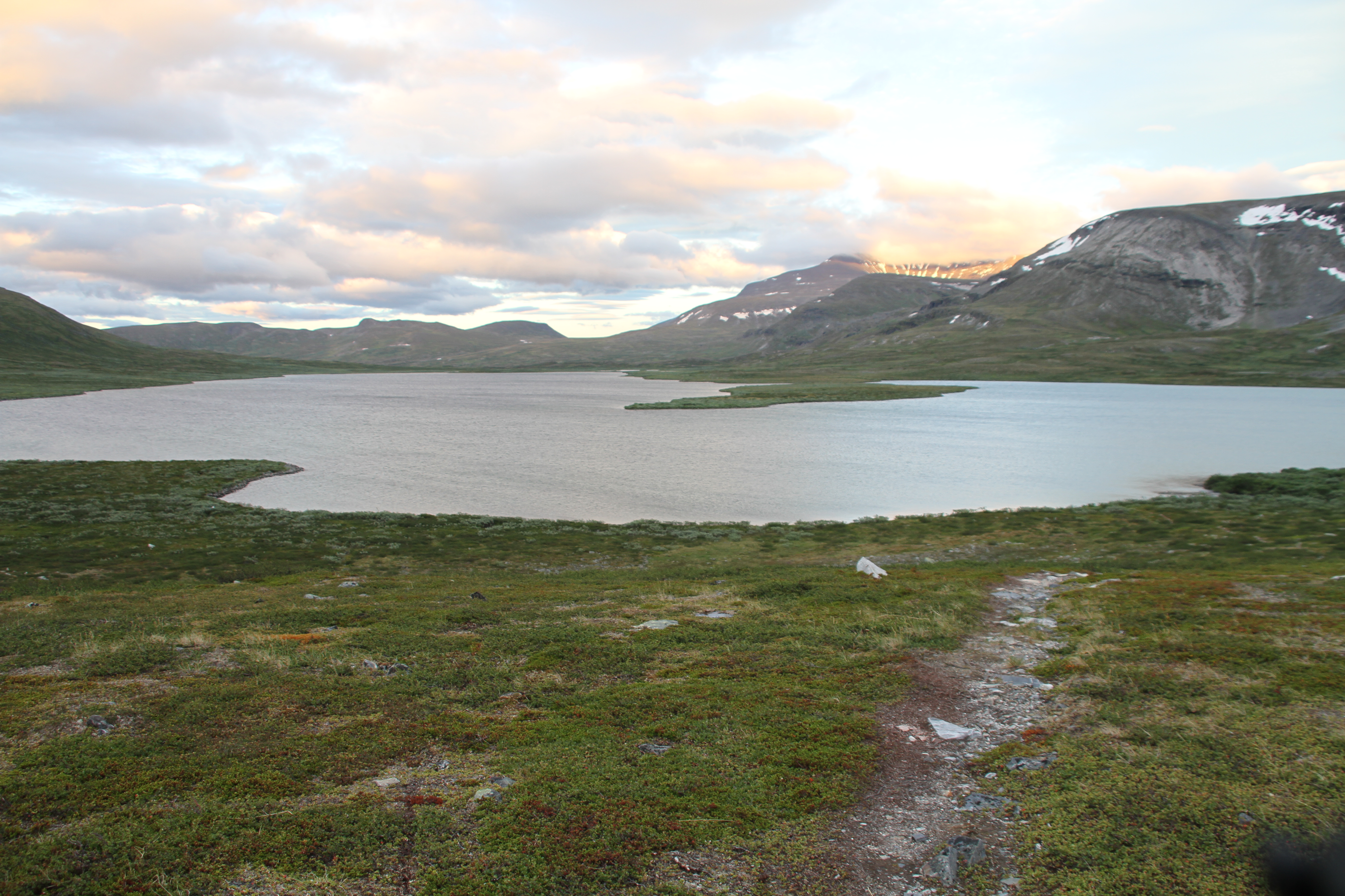
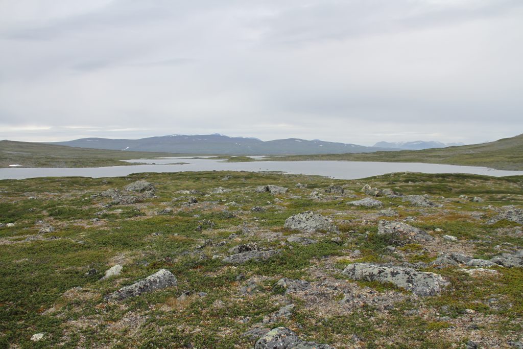
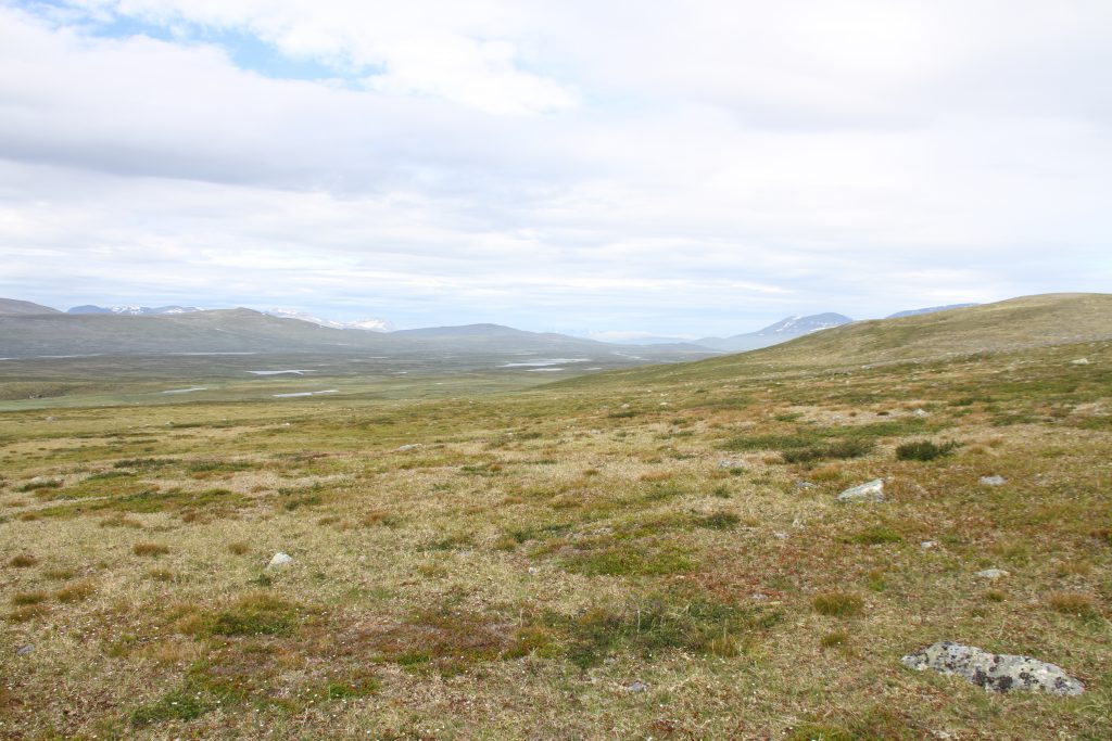
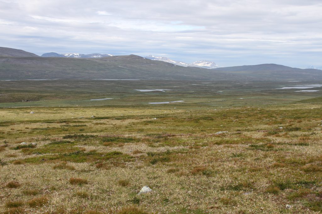
The Nordkalottleden then climbs slightly to then descend later towards Unna Nannáš. A few rivers, some rocky terrain and brown-green grassy plateaus are crossed until I reach the two lakes which almost touch each other before Unna Nannáš. Without getting wet feet I can walk in between both.
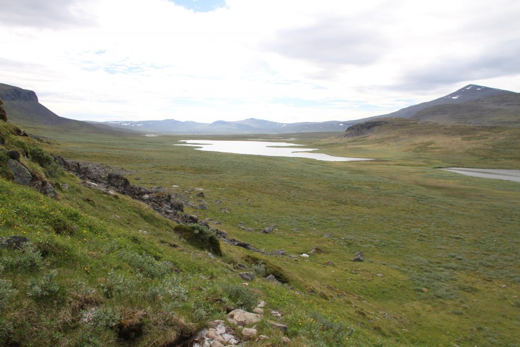
Since next to the highpoint Unna Nannáš is another higher peak called Stuora Nanná (1152m), I assume “Unna” means “little” and “stuora” that fore “big”. Nevertheless, I pass the “Little” as well as the “Big” Nanná on their SE side to reach the Skaktarelva, a river which I need to cross. Here I meet three Brits of whom one fell during while crossing the Skaktarelva. He is not seriously hurt but they still warn me to be careful. While talking to them it starts drizzling and since i got a bit scared of slipping while crossing the river I take out my rain jacket and pack everything watertight.
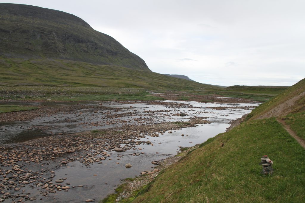
The Riverbed is wide but does really not carry much water. With wet feet and a cold breeze blowing I hurry on to get some kilometre behind me. I follow a very well formed trail and even some trail-marker until I realise after about half an hour later that i walk in the complete wrong direction.
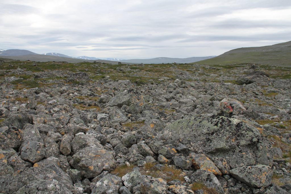
When making sure everything is safe from them rain I also packed down my waterproof map. Therefore, I did not realise that instead of following the Skaktarelva westwards I should have climbed up in between Jerta (1428m) and Litle Jerta (1279m) to a rocky high plateau. I hike back about 1.5km until finding the path of the Nordkalottleden.
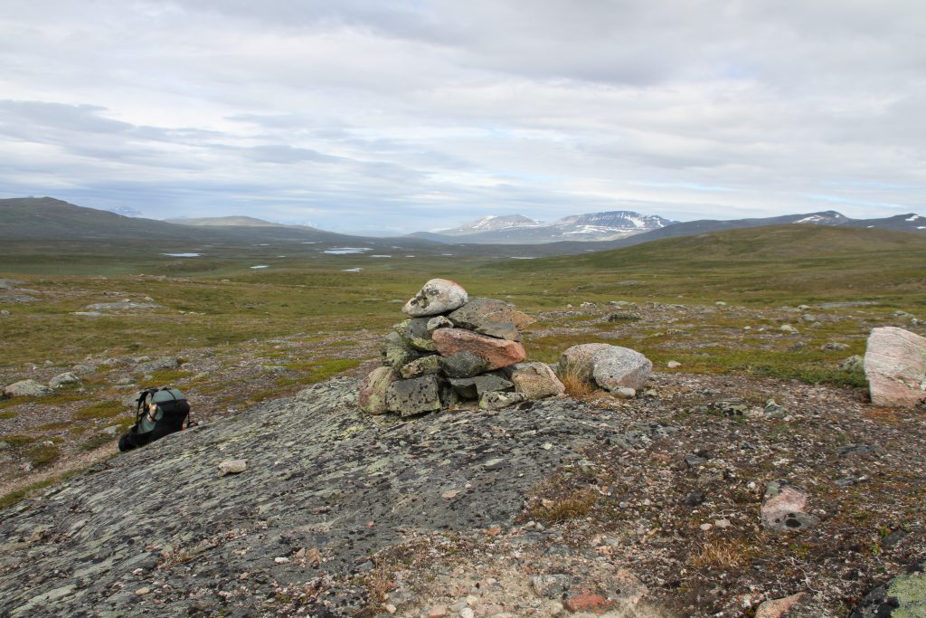
Half an hour after ascending to approximatly 960m I descend on steep slopes down into a valley. Half way down Dividalhytta serves as a welcoming dry place for having lunch! I air my feet and enjoy some salami tortilla wraps on the huts terrace. Seriously, why did I not just get a DNT hut key?! Then I could sit inside now. After my break I continue to descend further down the valley and meet a group of teenager who could not be happier when hearing that the mountain cabin they are looking for (Dividalshytta) is only about two minutes away.
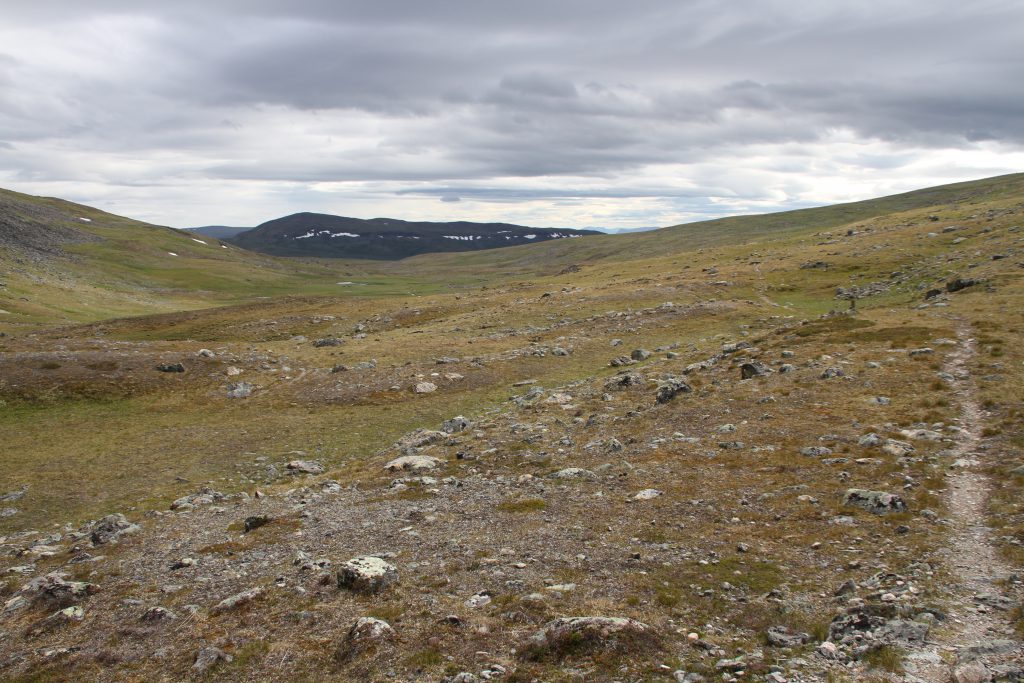
Path over the high plateau 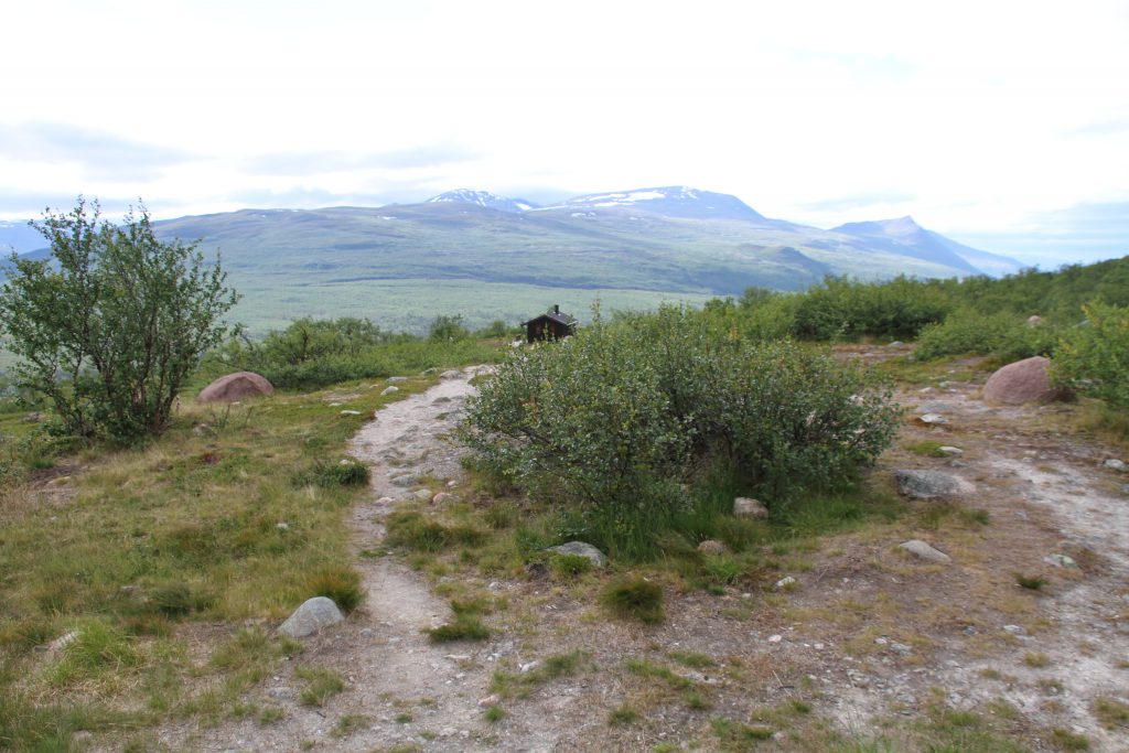
Dividalshytta 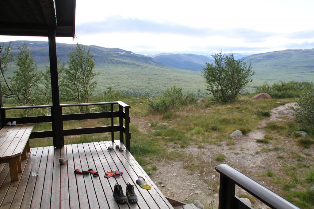
Dividalshytta Terrace
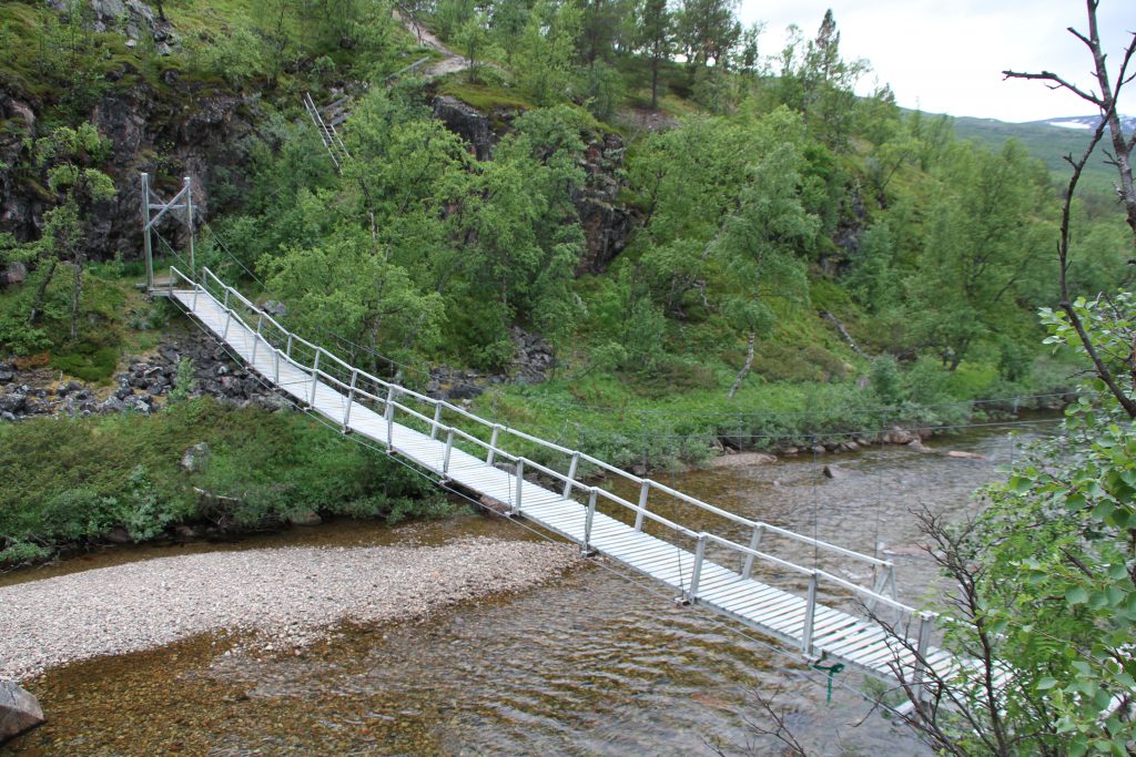
Down in the valley I pass by Anjavasshytta, cross a bridge and follow the Vuomajohka upstream until crossing it over another bridge. On the way here I pass by a camping German couple, who section hike the Norge på Langs (NPL-Trail). Later Natali, a British student, who is also following parts of the Nordkalottleden catches up with me.
From there we walk on the foot of the Vuomavárri (1045m) along the Anjavasselva until reaching the Vuomahytta after a very long day.
I try to pitch up my tent anywhere in the proximity of the hut but really cant find a suitable spot. The wind is blowing so strong over the lake in front of the hut that my tent does not stand a chance against it.
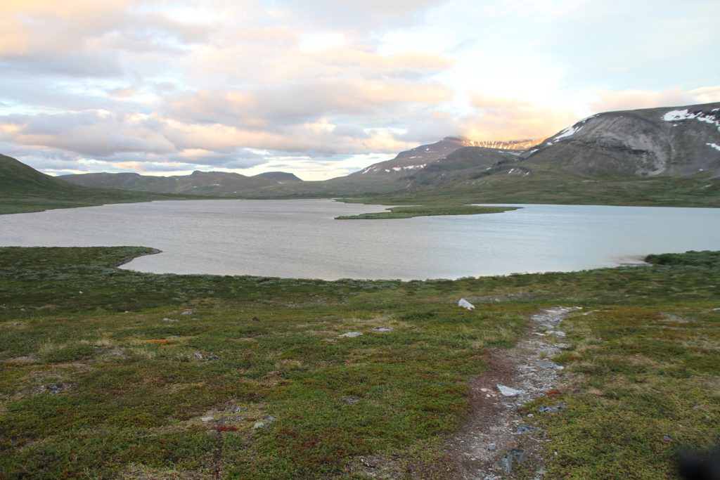
Luckily a family stays in one of the huts and I do not have to go on to find a place to tent. Defeated and exhausted I take shelter in the most fancy mountain cabin I have seen so far!
The families father actually carried a inflatable boat up here to go fishing with his kids on the lake in the following days!
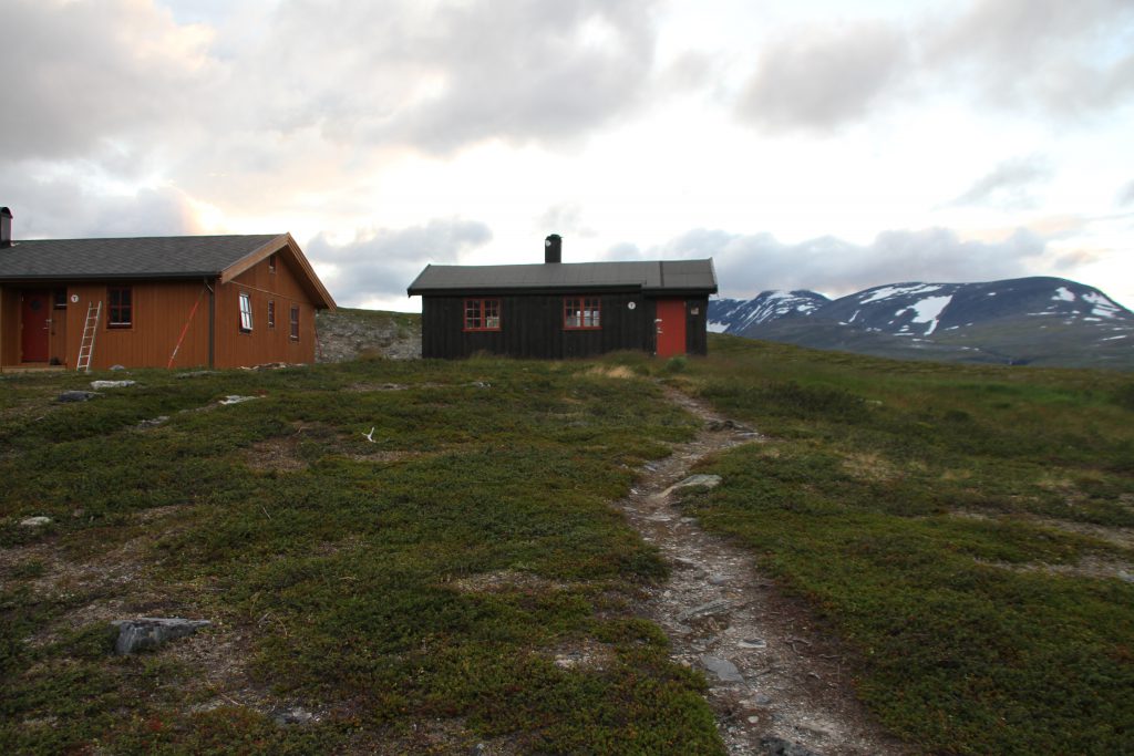
Vuomahytta & Nya Vuomahytta 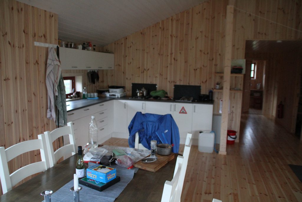
Nya Vuomahytta – Kitchen 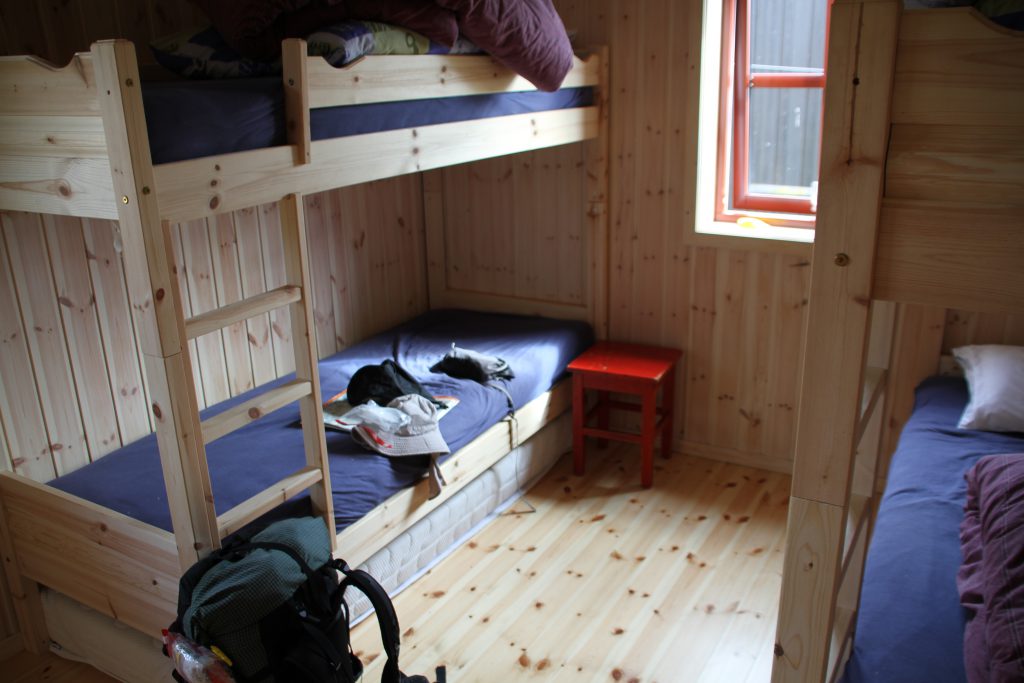
Nya Vuomahytta – Sleeping Room 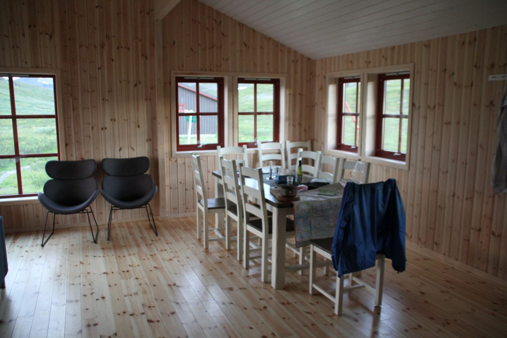
Nya Vuomahytta – Dining Area 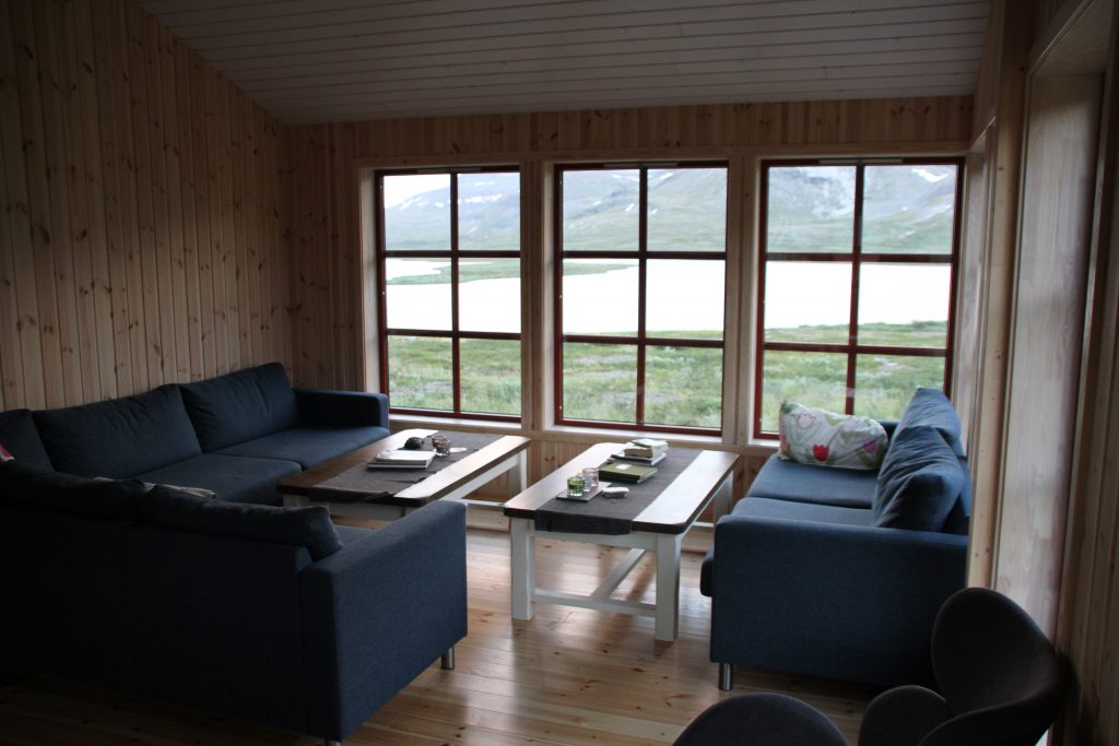
Nya Vuomahytta – Cosy Area 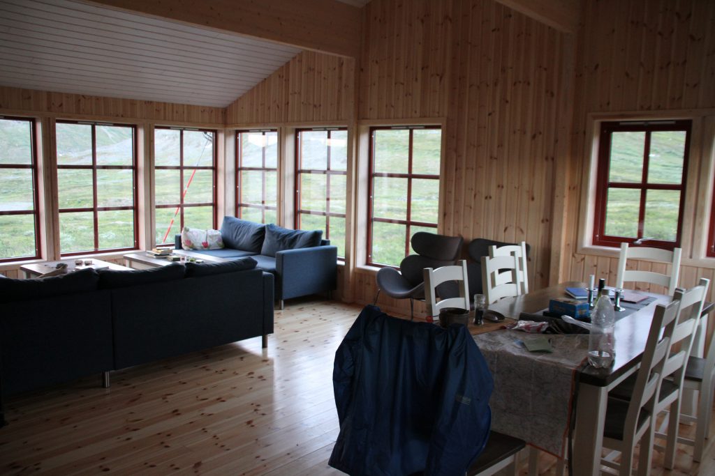
Nya Vuomahytta – Overview
Natali continues hiking.
